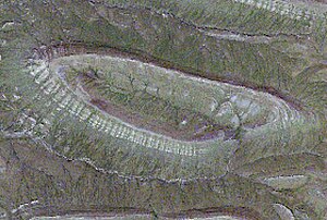
Eskers
Esker: A long narrow ridge, often sinuous, composed of stratified sediment and marking the former location of a glacial tunnel.

A streamlined, oval-shaped hill which has been shaped by flowing glacial ice. The long axis is parallel to the direction of ice flow, the up-glacier slope is usually steeper than the lee slope, and composition includes a variety or combination of materials—till, outwash, or bedrock. Drumlins are highly localized, but where present, they occur in large numbers. Some drumlins are clearly erosional in origin, but in others till deposition appears to have been synchronous with drumlin formation. Thus, one or both processes must be operative at some time in the subglacial environment where drumlins form.


![Reblog this post [with Zemanta]](http://img.zemanta.com/reblog_e.png?x-id=780ab181-ac14-4827-9433-7188012de5d7)